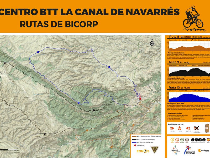
Route MBT Caroig (Bicorp)
MTB route that runs El Buitre, El Caroche, the Cazuma River and Barranco Salado. Approximate duration 4 / 6h.

MTB route that runs El Buitre, El Caroche, the Cazuma River and Barranco Salado. Approximate duration 4 / 6h.
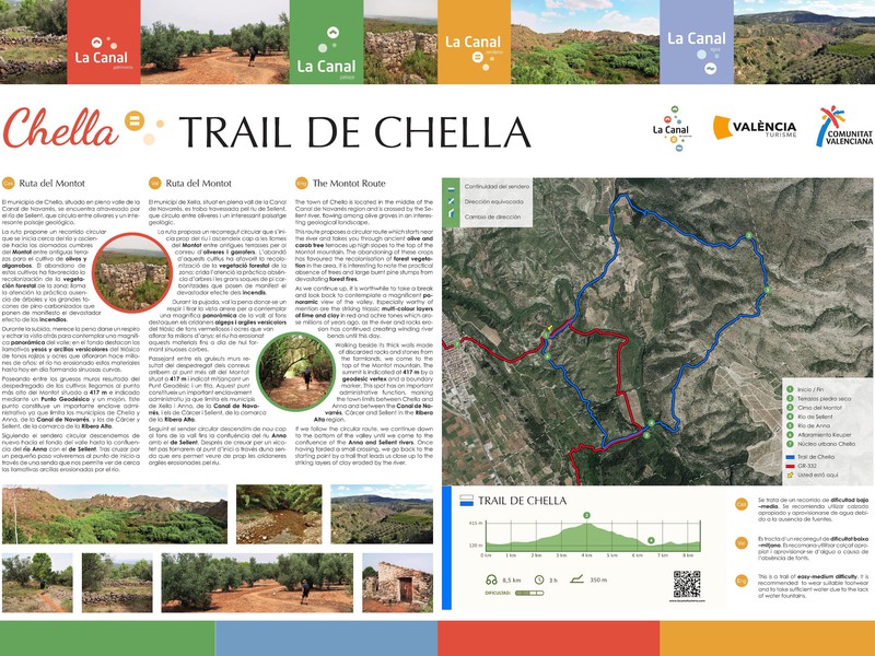
This trail is part of the mountain race known as the Trail del Salto, which takes place in the town
This route has 10,012m distance, its itinerary is circular, of medium difficulty, with a maximum height of 267 m.a.s.l. Its
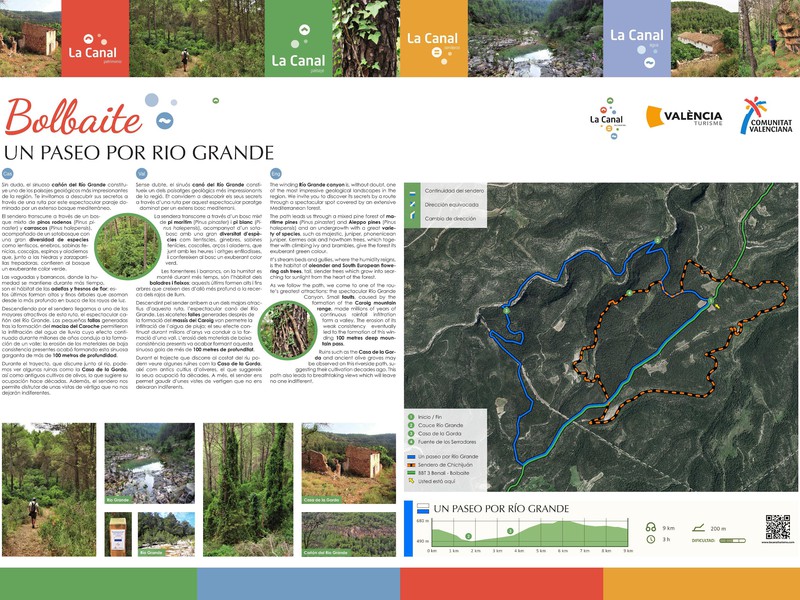
This route covers a distance of 5440m (approximately 2 hours and 54 minutes), with a circular itinerary of medium difficulty.
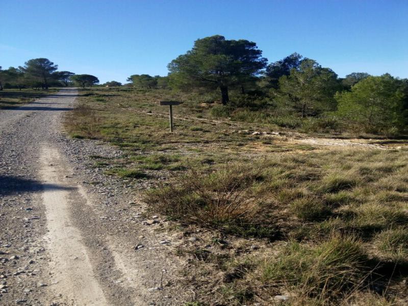
The trail runs through the highest and most inaccessible part for road traffic of the municipal area of Bolbaite, sharing
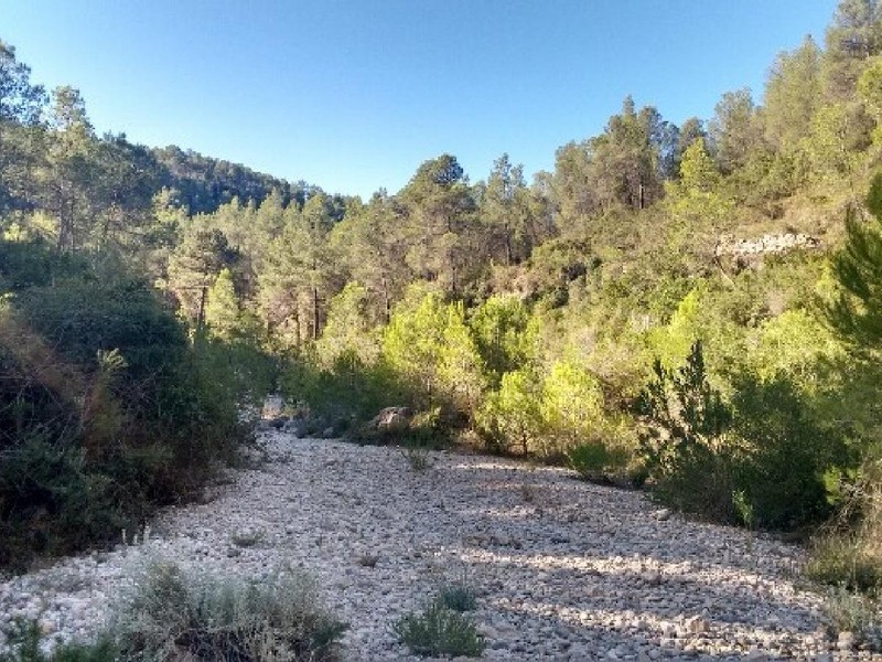
This is a 6,120 m long linear trail with low difficulty. It starts at Cantalavieja and is accessible from the
The Bolbaite agro-forestry trail is a path that, as its name suggests, traverses the ancient mountain areas transformed by humans
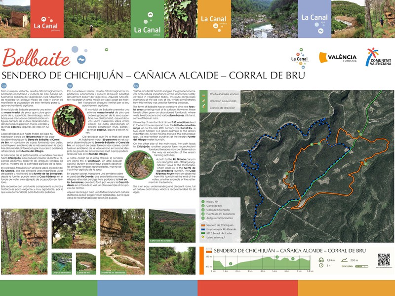
This trail runs through the upper part of the municipal area, on the border with Enguera, passing through hamlets, pens,
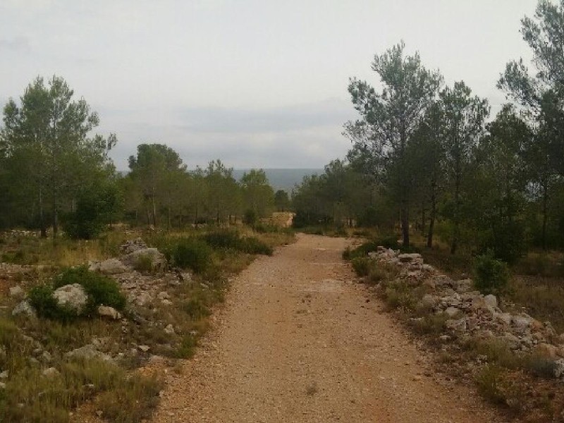
This route has 8480m of distance (approximately 55 minutes, its itinerary is circular, of low difficulties, with a maximum altitude
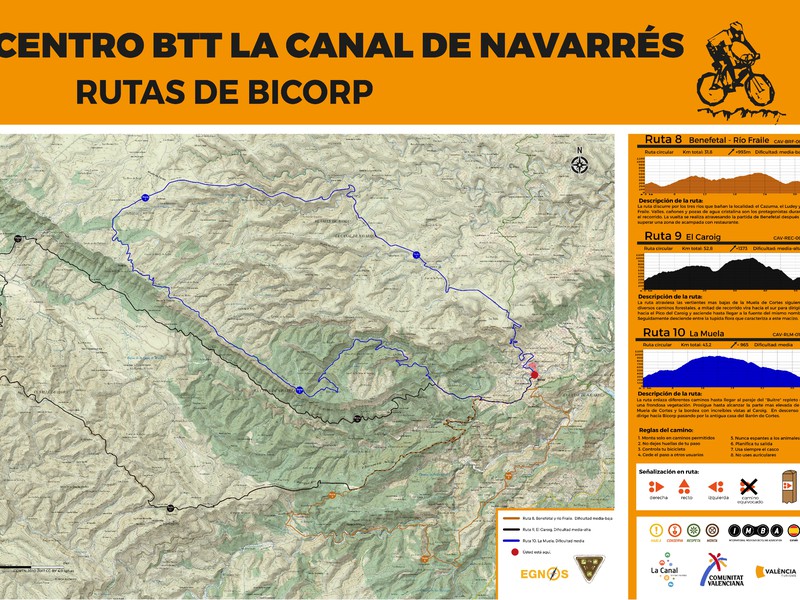
MTB route that runs through Barranco Moreno and Barranco de la Pileta, passing through the Coat of Lucino and the
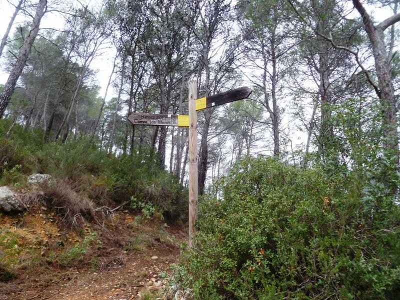
Hiking trail that runs through part of the Benedriz River and the Montemayor. We can visit the Cave of the
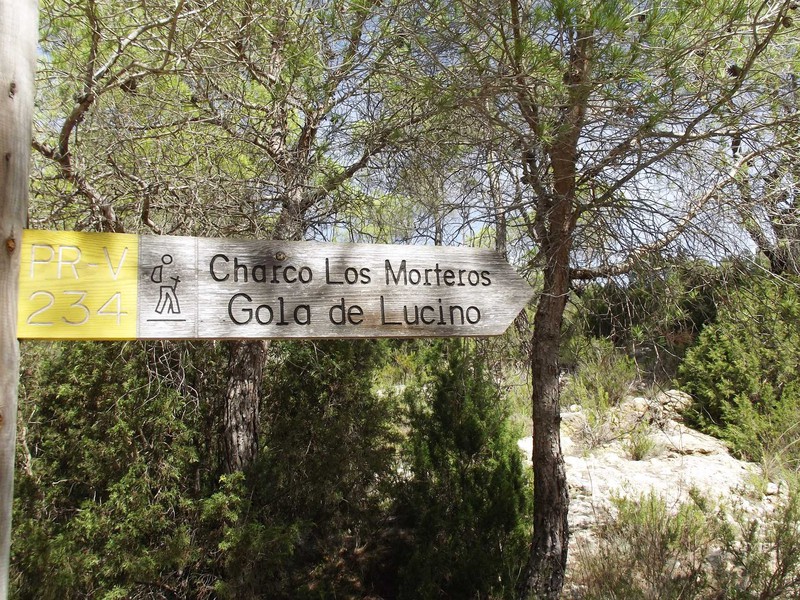
Hiking trail that runs through part of the Cazuma River, Gola Lucino and the Spider Caves, where the most important
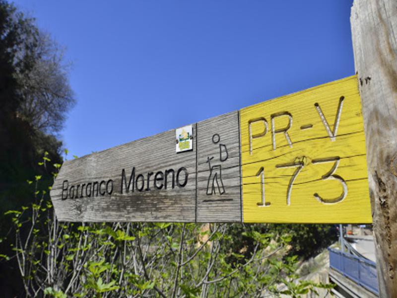
Hiking route that runs through the Barranco Moreno and where we can visit the cave paintings of the Calicanto Raft
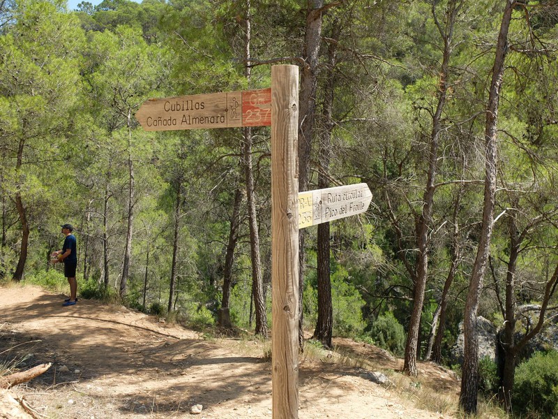
Hiking trail that runs through the Barranco de Benefetal and part of the Fraile River.
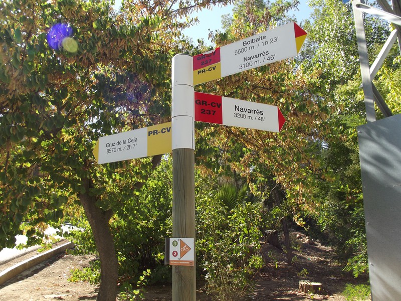
The route to Cruz de la Ceja is a journey through nature that ascends to the geodetic point at the
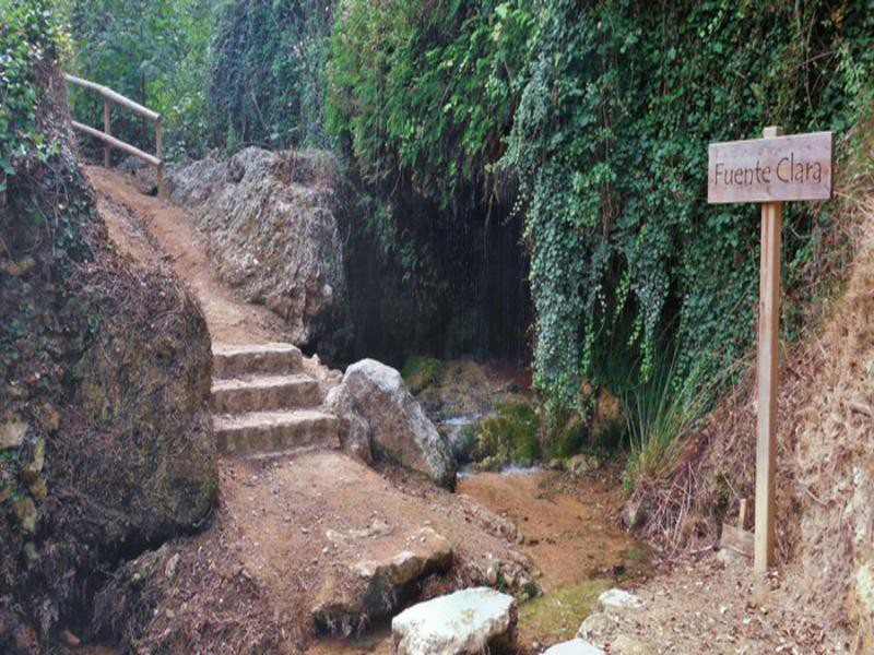
This is a fairly simple route with the attraction of the Chorradores. There are two different itineraries available: 1. Via
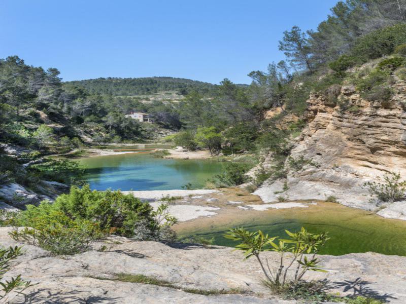
This route takes us through one of the most beautiful places in this area, where the water has sculpted gorges
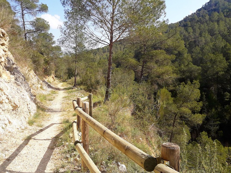
The path of the Cinglas owes its name because it passes between large limestone cuts called “belts” forming spectacular balconies.
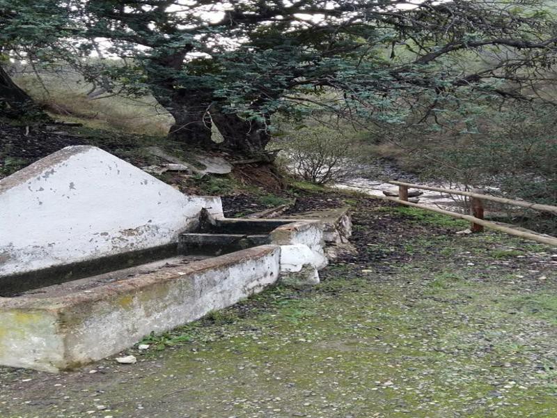
The route of the Sources tries to unite tradition and history through a circular route where the town of Quesa
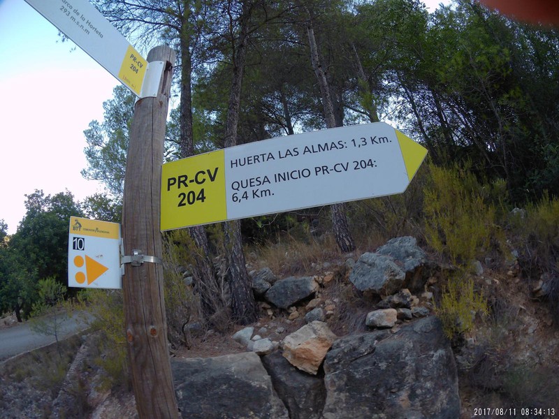
This path will show us an old horseshoe path where formerly part of the carob production was taken from Corbera’s
Copyright © 2023. La Canal de Navarrés. All rights reserved.
Do not hesitate to contact us for any further information.
This website uses cookies so that we can provide you with the best user experience possible. Cookie information is stored in your browser and performs functions such as recognising you when you return to our website and helping our team to understand which sections of the website you find most interesting and useful.
Strictly Necessary Cookie should be enabled at all times so that we can save your preferences for cookie settings.
If you disable this cookie, we will not be able to save your preferences. This means that every time you visit this website you will need to enable or disable cookies again.